
 |
 |
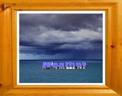
Find the Weather for any City, State or Zipcode, or Country |
|
|
|
|
|
|
|
| NOAA Weather Forecast Map | NOAA SPC Activity Chart | |
 |
 |
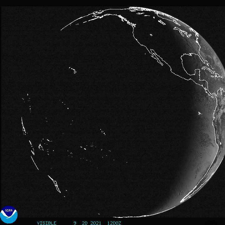
| NOAA Geostationary Satellite | VAISALA NLDN LIGHTNING MAP | NOAA Geostationary Satellite | |||||||||||||||||||||||||||||
|
 |
|
|
|
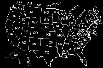
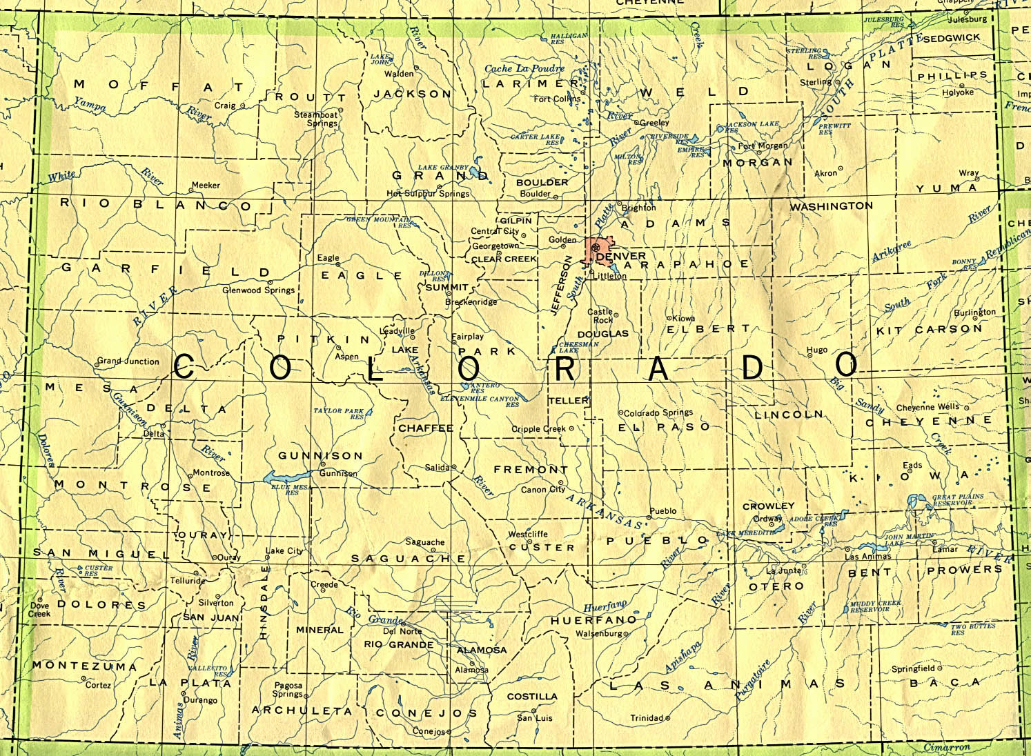
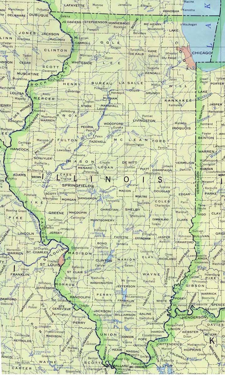
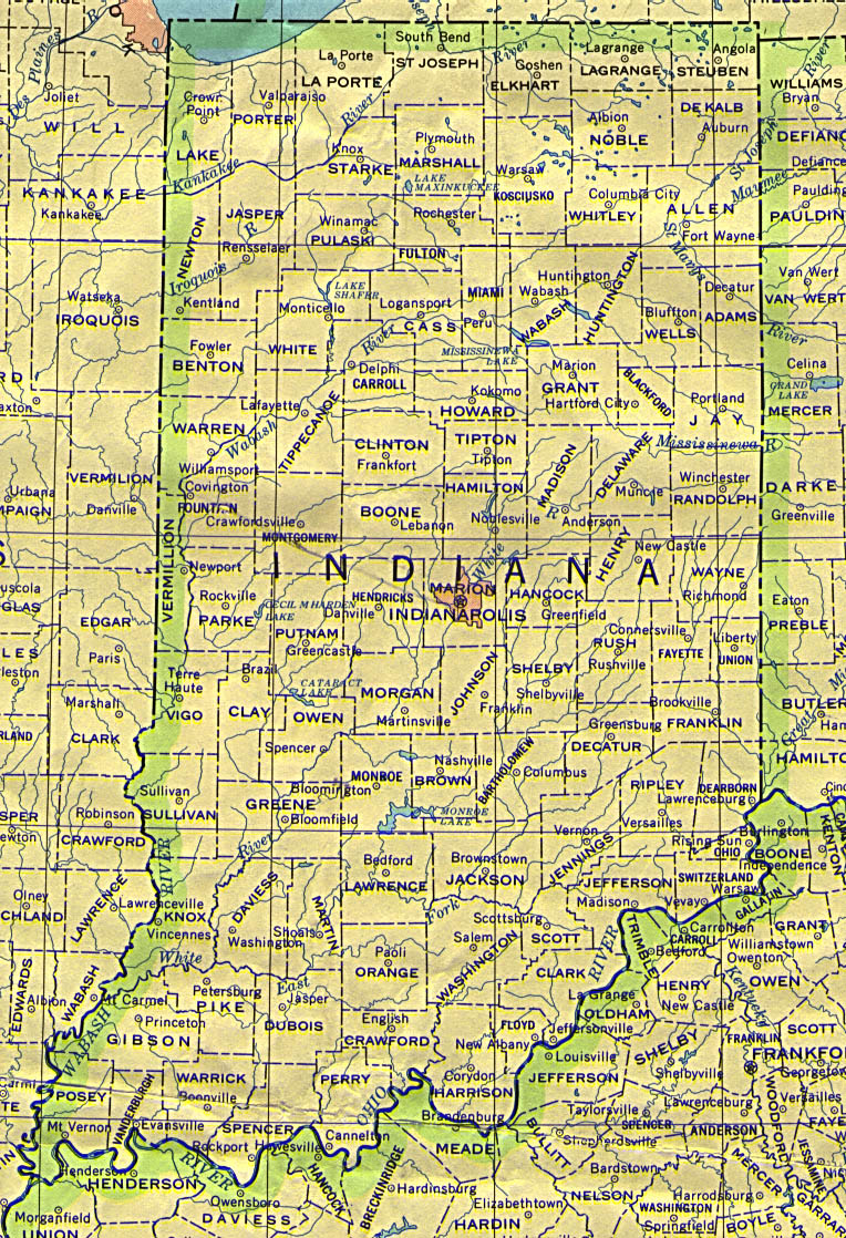
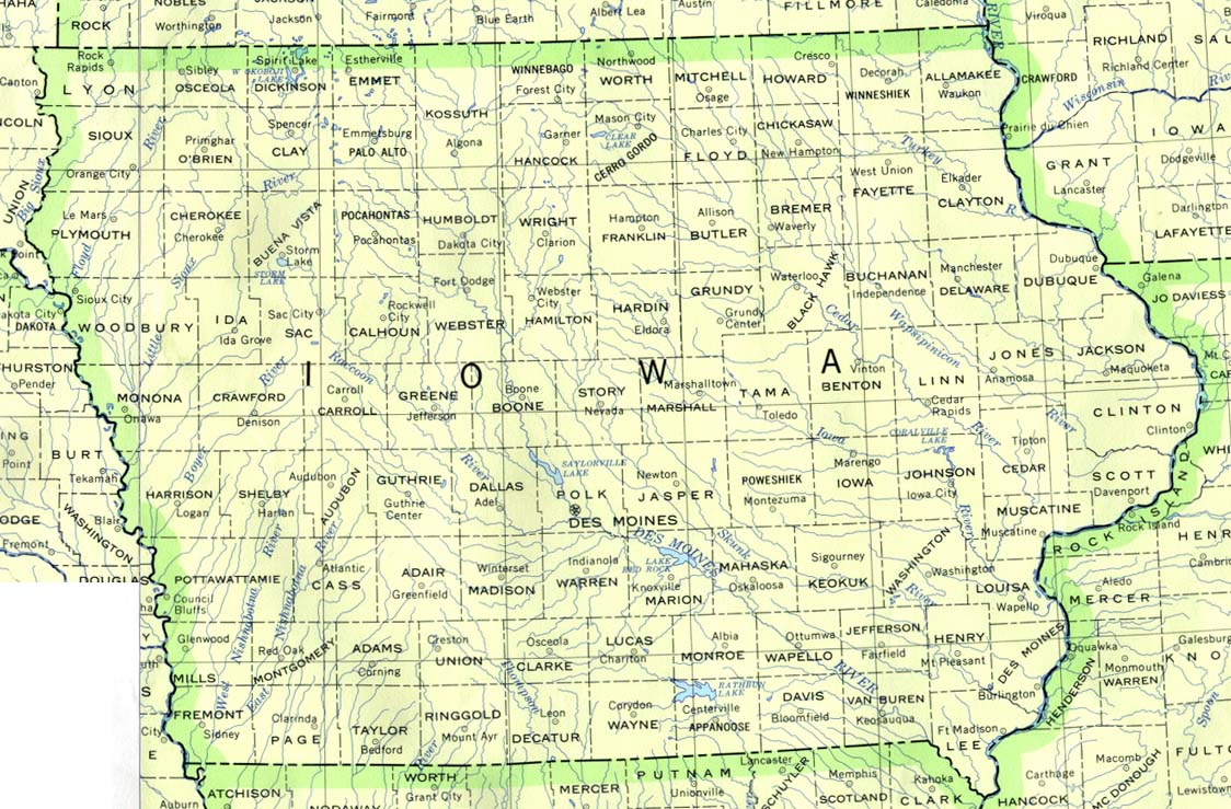
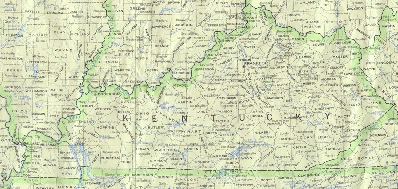
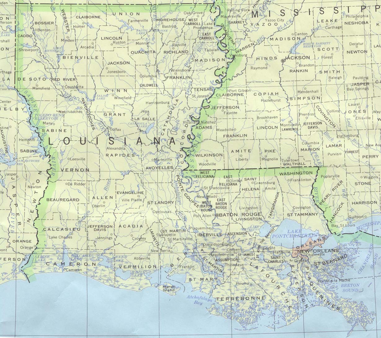
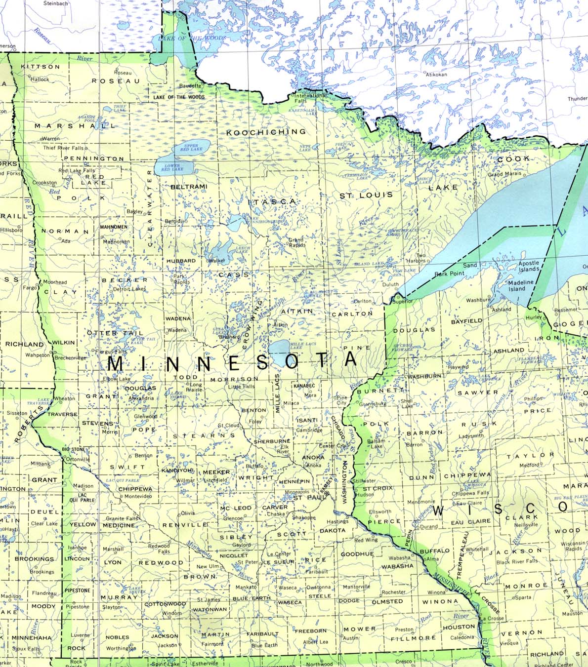
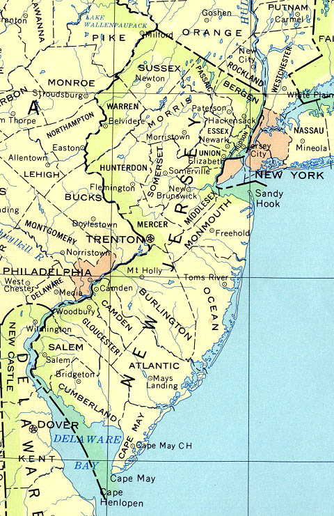
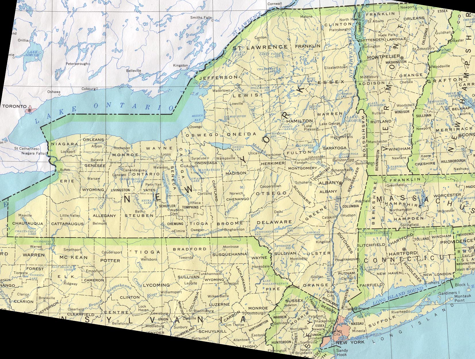
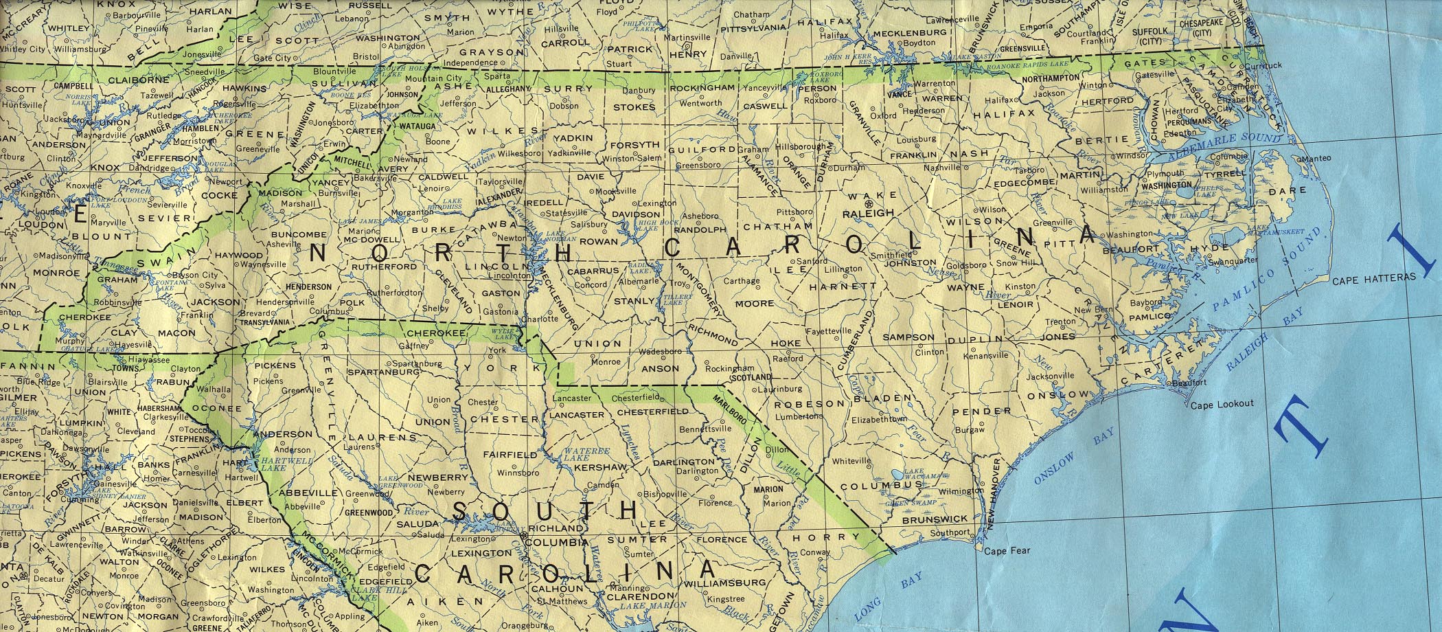
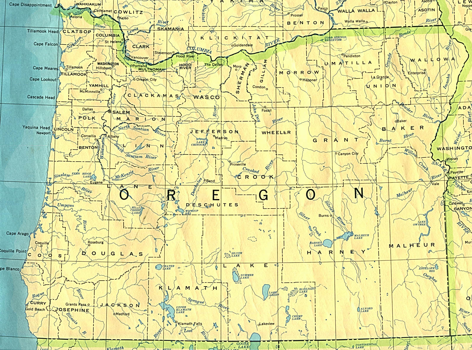
US STATE ID MAP |
|||||||||||||||||||||||||||||||||
|
|
|
|
|
|
|
|
|
|
|
|
|
|
 |
There Are No Guarantees You Will See Any Tornadoes From These Webcams, However, Its Possible... |
|
| STATE | CITIES |
| ARKANSAS | Fayetteville |
| COLORADO | Aspen, 2, 3 / Breckenridge / Dolores / Grand Junction / Pagosa Springs / Palmer Lake |
| ILLINOIS | Batavia, 2, 3 / Chicago, 2, 3, 4 / Morton Grove |
| INDIANA | Angola, 2 / Notre Dame |
| IOWA | Ames / Iowa City / Okoboji |
| KANSAS | Overland Park / Walberg Heights / Wichita, 2, 3, 4 |
| KENTUCKY | Louisville |
| LOUISIANA | New Orleans |
| MINNESOTA | Gibbon |
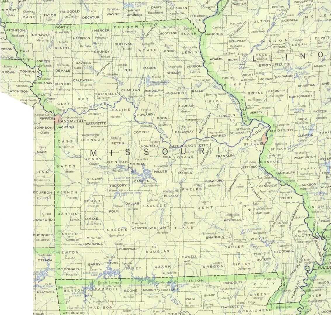
| MISSOURI | St. Charles / St. Joseph |
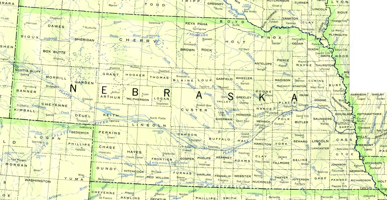
| NEBRASKA | Lincoln / Omaha |
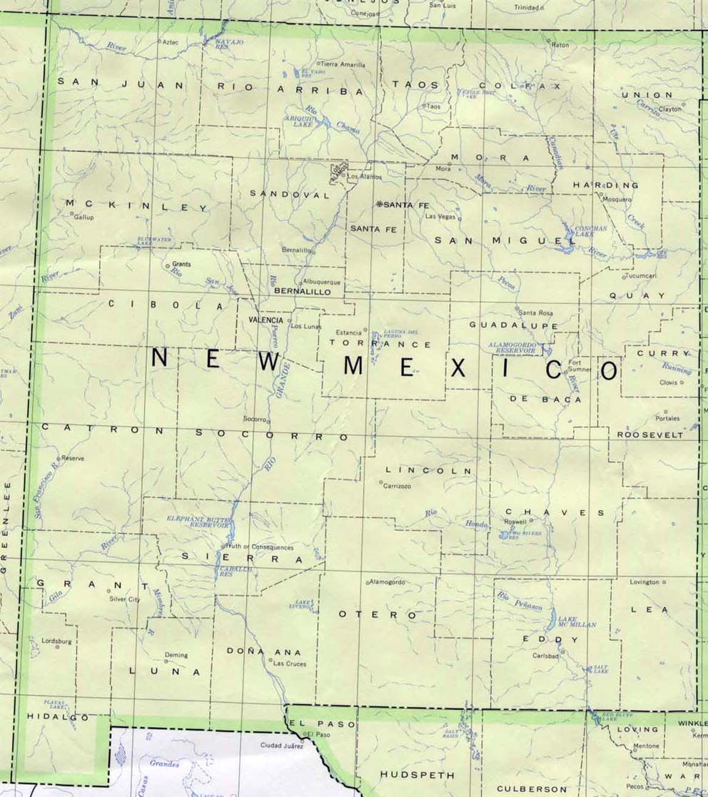
| NEW MEXICO | Alamogordo - Little Cloud / Santa Fe |
| NORTH DAKOTA | No Known Current Webcams |
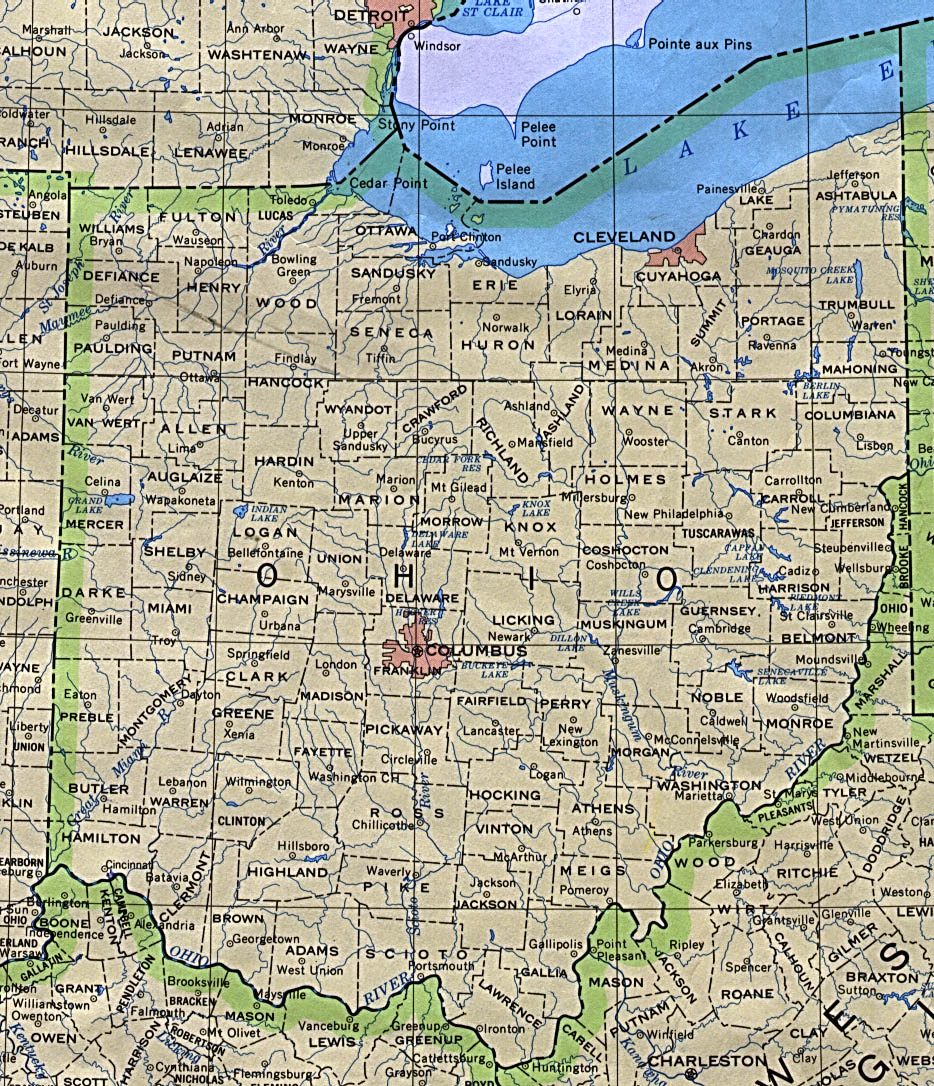
| OHIO | Akron, Athens, Celina, 2 / Cleveland, 2, 3, 4, 5, 6 / Columbus / Delaware / Grand Rapids / Marion / Oxford / Port Clinton / Put-In-Bay / Sandusky / ODOT |
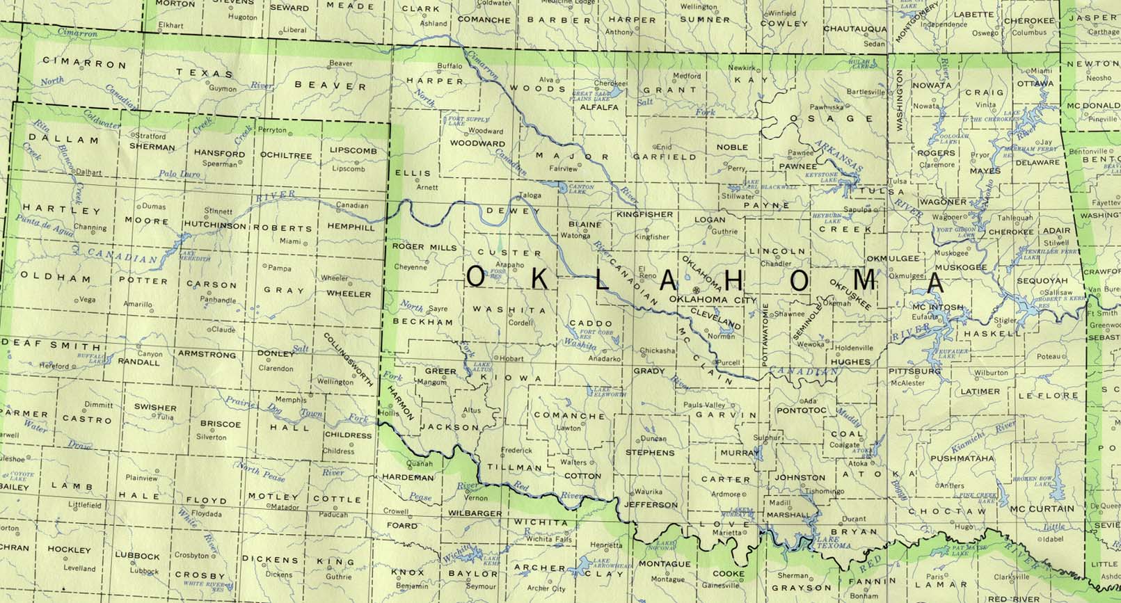
| OKLAHOMA | Lake Keystone, Tulsa |
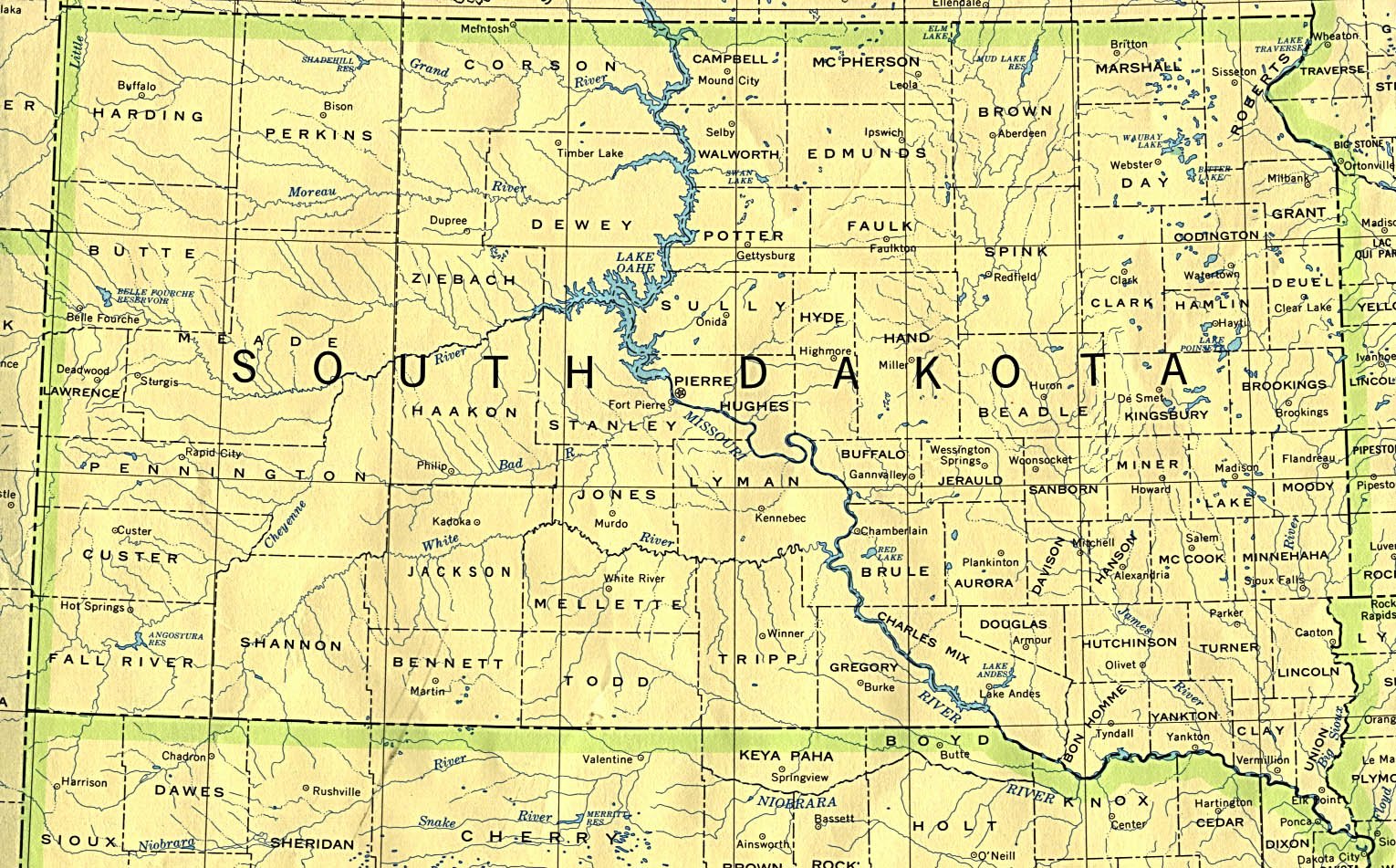
| SOUTH DAKOTA | Crazy Horse |
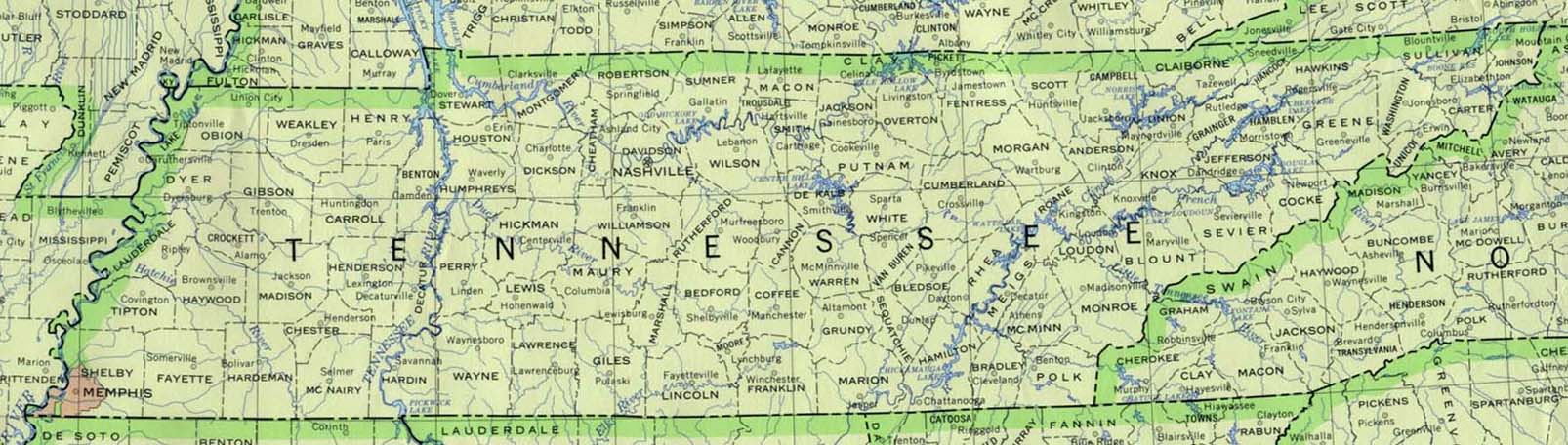
| TENNESSEE | Nashville, 2 / Pigeon Forge |
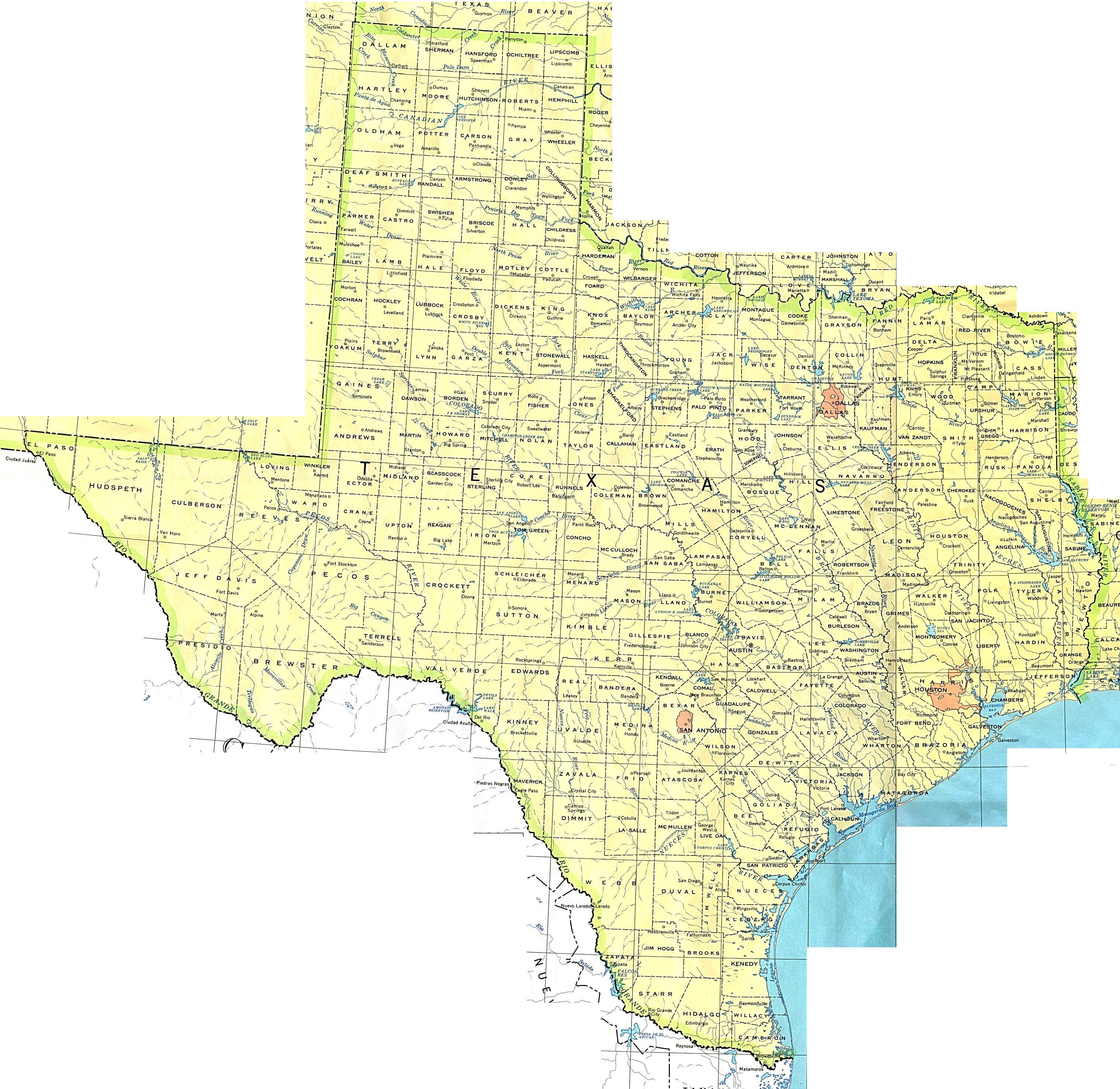
| TEXAS | Amarillo / Corpus Christi / Dallas / Fort Worth, 2 / Lake Granbury / Matagorda Beach / Midland / Odessa / South Padre Island |
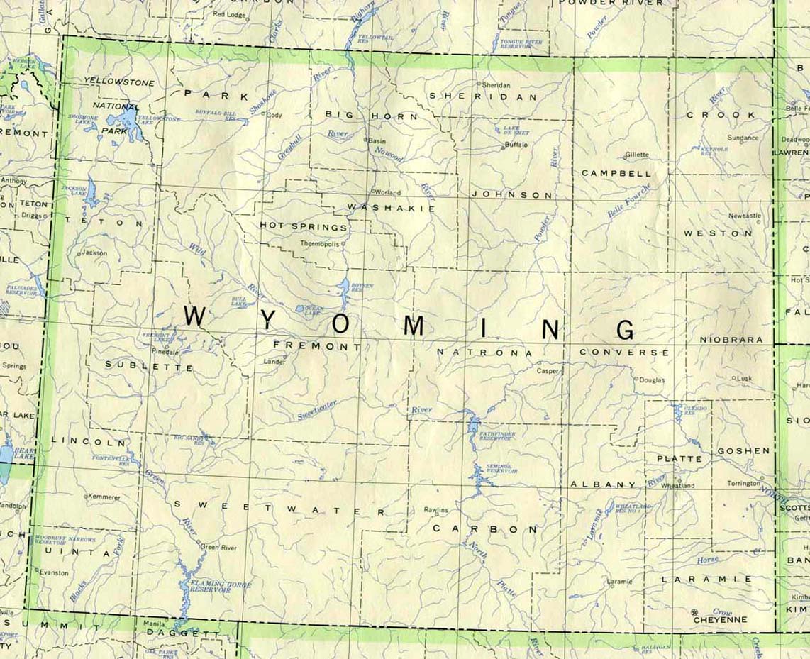
| WYOMING | Jackson Hole / Riverton / Yellowstone National Park / Old Faithful Live @ Yellowstone Park |
|
|
 |
|
| STATE | CITIES |
| ALABAMA | Gulf Shores, 2,,3 |
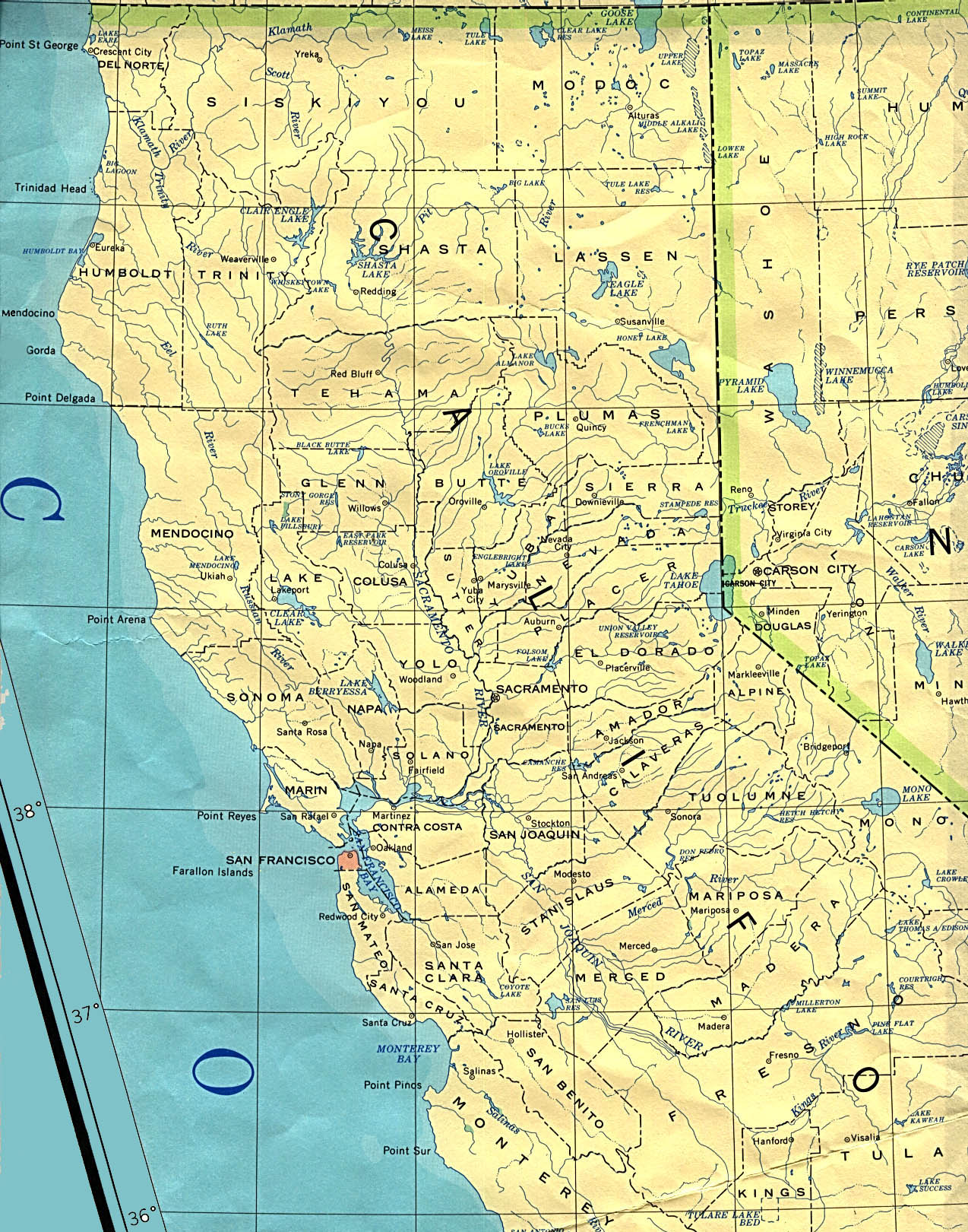
| CALIFORNIA-North (South) | Freemont / Los Angeles / Palm Springs / San Diego / San Francisco, 2 / Santa Monica / Truckee (Tahoe) / Venice Beach, 2 / Ventura |
| CONNECTICUT | Mystic, 2, 3 / Stafford Springs |
| DELAWARE | Newark / Sussex |
| FLORIDA | Cape Coral / Cocoa Beach, 2 / Gulfport / Islamorada / Key West / Marathon (Keys) / Miami, 2 / Neptune Beach / Palm Beach / Sarasota / Tampa / Venice / Weston |
| GEORGIA | Atlanta / Jekyll Island / Savannah |
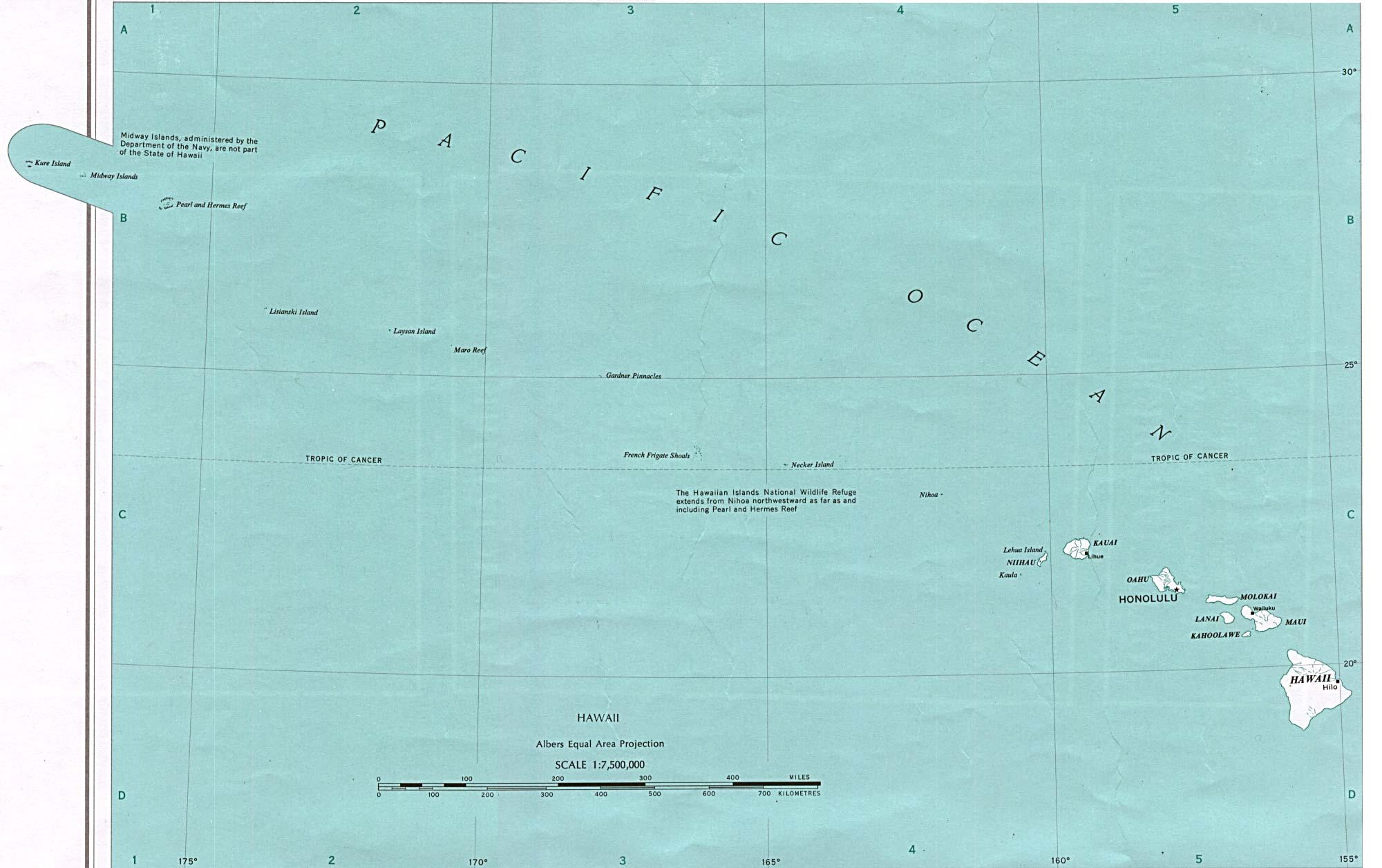
| HAWAII | Kauai / Maui 2, 3 / Oahu / Princeville / Waikiki |
| LOUISIANA | Baton Rouge, 2, 3, 4 / New Orleans |
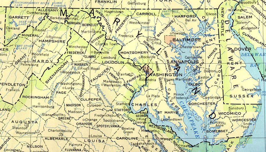
| MARYLAND | Ocean City, 2 / Towson |
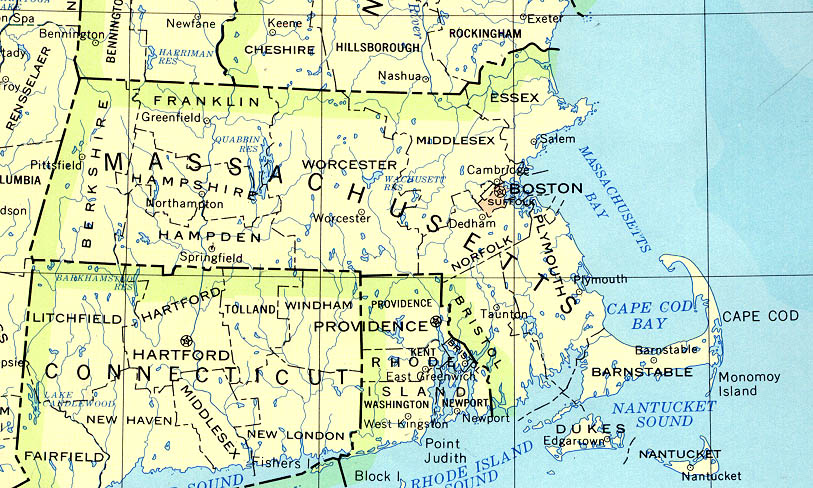
| MASSACHUSETTS | Boston, 2 / Gloucester / Hyannis / Woods Hole, 2 |
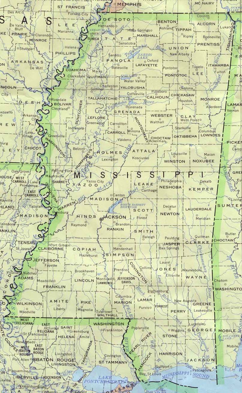
| MISSISSIPPI | Starkville |
| NEW JERSEY | Atlantic City / East Hanover |
| NEW YORK | Brockport / Central Park / Geneva / Honeoye / New York City, 2, 3, 4, 5, 6, 7, 8, 9 / Perry / Point Breeze / Rochester, 2 / Silver Lake / Sodus Point / Stafford / Webster, 2 |
| NORTH CAROLINA | Asheville / Holden Beach / Kill Devil Hills / Wrightsville Beach |
| OREGON | Bandon / Hillsboro-Salem / Oceanside |
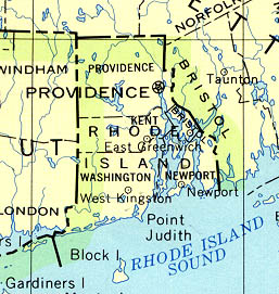
| RHODE ISLAND | Narragansett / Newport |
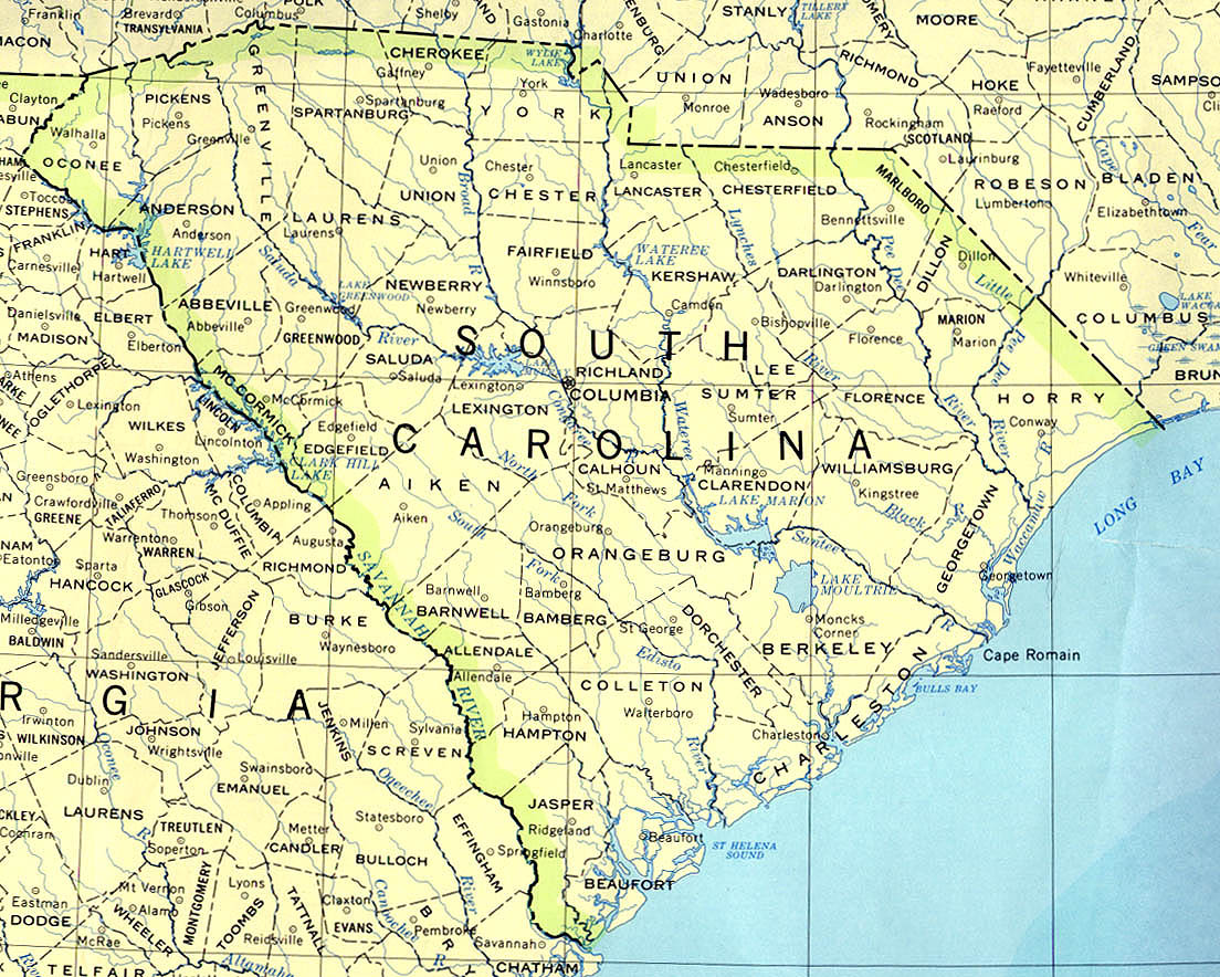
| SOUTH CAROLINA | Folly Beach / Myrtle Beach / Pawleys Island / Surfside Beach |
| TEXAS | Amarillo / Corpus Christi / Dallas / Fort Worth, 2 / Lake Granbury / Matagorda Beach / Midland / Odessa / South Padre Island |
| VIRGINIA | Blacksburg / Charlottesville / Richmond, 2 / Roanoke |
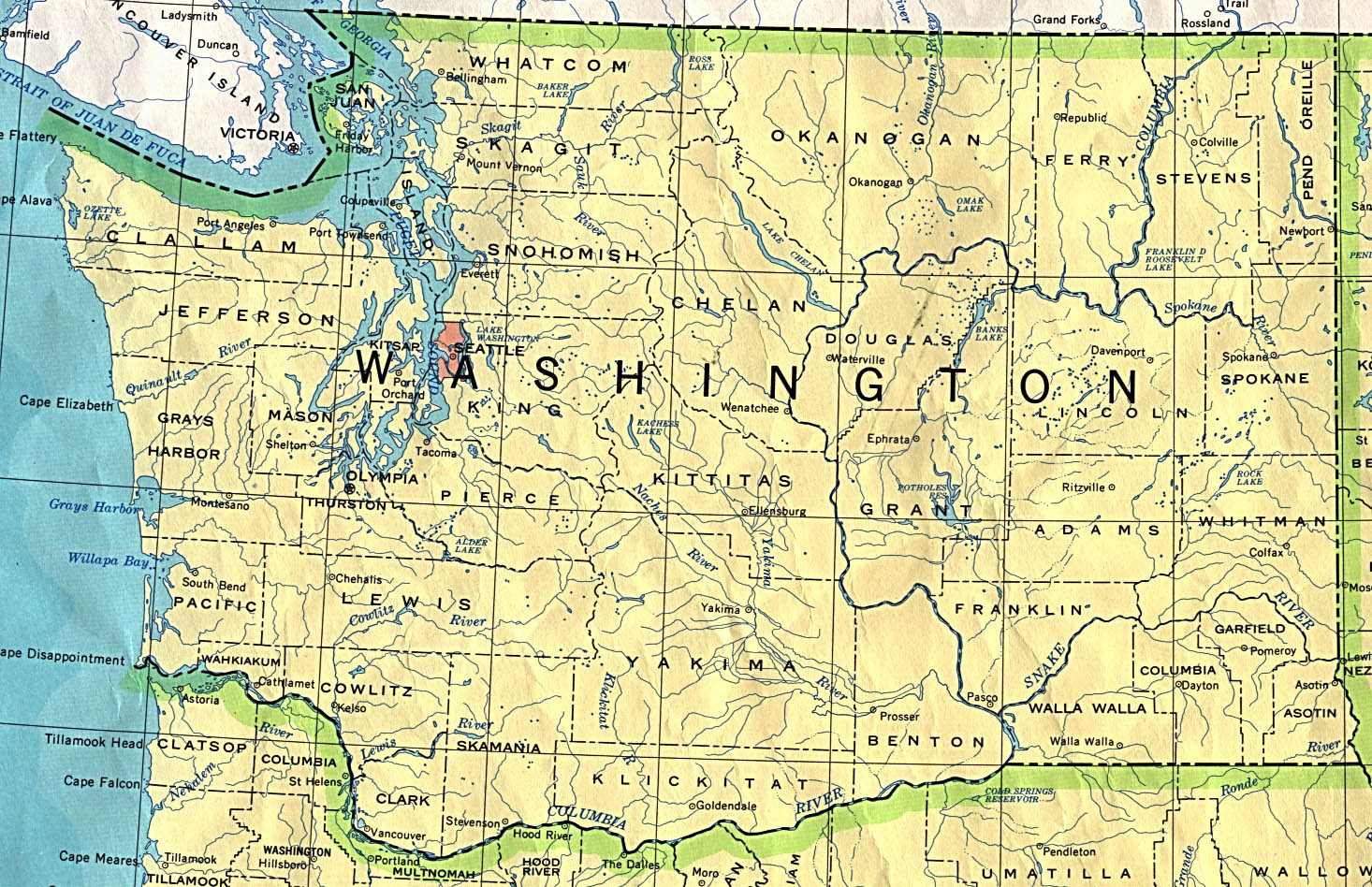
| WASHINGTON | Pullman / Seattle / Spokane |
|
|
|
| STATE | CITIES |
| ALASKA | Anchorage / Chugach Mountain / Cordova Harbor / Fairbanks / Lake Iliamna (Pedro Bay) |
| ARIZONA | Flagstaff / Tempe / Tucson, 2, 3, 4, 5, 6, 7, 8 |
| IDAHO | Hauser Lake / Island Park / Pocatello / Rexburg |
| MAINE | Boothbay Harbor, 2 / Castine / Fort Kent / Houlton / |
| MICHIGAN | East Lansing / Grand Valley / Houghton / Ludington / Marquette / Traverse City |
| MONTANA | Big Sky / Bozeman / Cooke City / Eureka / Glacier Park / Helena / Kalispell / Libby / Missoula |
| NEVADA | Lake Tahoe, 2 / Las Vegas, 2, 3, 4, 5, 6, 7, 8 / Sparks |
| NEW HAMPSHIRE | Attitash / East Alton, Mount Washington |
| NEW MEXICO | Albuquerque / Hobbs / Red River / Santa Fe / Taos |
| PENNSYLVANIA | Camelback (Poconos) / Edinboro / Hidden Valley / Mount Nittany / Philadelphia, 2 / Pittsburgh, 2, 3, 4, 5 / Scranton, 2 |
| UTAH | Oakley / Park City, 2 |
| VERMONT | Jericho Corners / Mad River / Waitsfield |
| WEST VIRGINIA | Charleston, 2 / Roanoke |
| WISCONSIN | Hayward / Milwaukee Lake / Mineral Point |
 |
 |
 |
|
DALLAS, TEXAS WESTWARD FACING LIVE WEATHER WEBCAM |
STUART, FLORIDA LIVE WEATHER WEBCAM |
| WEATHER-RELATED LINKS |
| AccuWeather | Current US Weather | Hydrology Laboratory | Meteorological Service of Canada | National Ice Center |
| American Meteorological Society | Disaster Center | Hydrometeorological Prediction Center | Midwestern Regional Climate Center | National Oceanic and Atmosphere Administration - NOAA |
| Aviation Weather Center | Dry Day Long Range Weather Forecasts | INTELLiCast | National Centers for Environmental Prediction | National Weather Service |
| Climate Diagnostics Center | Emergency Managers Weather Information Network - EMWIN | International Society of Biometeorology | National Doppler Radar Sites | Old Farmer's Almanac Long-Range Forecast |
| Climate Prediction Center | Hydrologic Information Center | Marine Prediction Center | National Hurricane Center | Online Weather - UK & Ireland |
| Rain or Shine | Storm Prediction Center | Tropical Storm Watch | Weather Base | Weather Next |
| Space Environment Center | Tornado Project | UM Weather | Weather Hub | Weather Post |
| Weather Works Inc. | Tornado Research and Defense Development - TRADD | Weather | Weather Net | Weather Resource |
| WeatherTec Services - Agricultural Weather | World Meteorological Organization - WMO | Weather Network - Canada |
|
|
Santa Cruz, California Live Weather Cam |
Decorah, Iowa Eagle Weather Cam |
|
|


